
Our agency has a vast range of data available on the county road system.
COUNTY BOUNDARY MAP
Click to visit interactive Washington State map with 39 county boundaries. Click a county number to view high level county road summary, vehicle miles traveled, and collision data for each county.
LEGISLATIVE DISTRICT MAP
Click to visit interactive Washington State map with 39 county boundaries. Click a county number to view high level county road summary, vehicle miles traveled, and collision data for each county.
Click to visit interactive Washington State map with 49 legislative district boundaries. Click a Legislative District number to view high level county road summary, vehicle miles traveled, and collision data for each district.
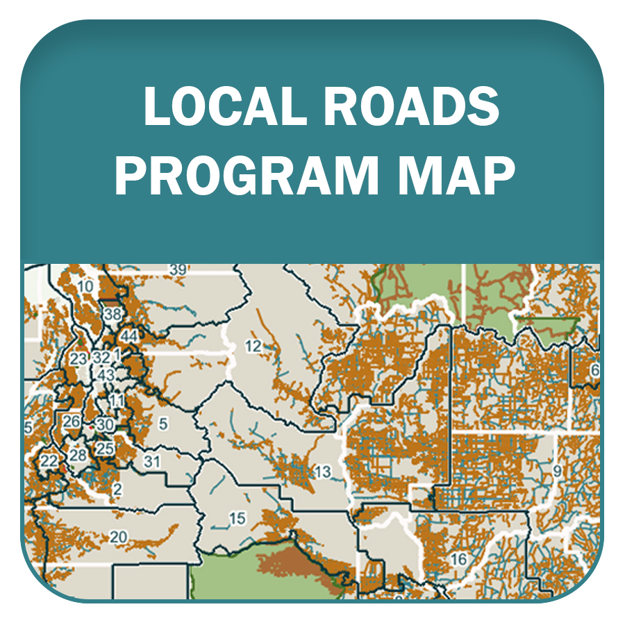
LOCAL ROADS PROGRAM MAP
Our agency has proposed a competitive grant program to fund projects on county local roads, which comprise over a third of Washington's road system. HB Bill 1098 has been submitted for consideration during the 2025 legislative session.
Click to explore an interactive map of the county local road network. Select each legislative district to view high level data on safety data, freight routes, tribal lands, and overburdened communities served by local roads.